


Severe thunderstorms are possible in the Dakotas, Minnesota , northern Wisconsin , and the Upper Peninsula of Michigan beginning Friday afternoon through Friday night as storms propagate along the upper ridge of an area of high pressure.
Bismarck and Fargo , North Dakota's largest cities , are among the locations within a Level 3 of 5 risk zone highlighted by NOAA's Storm Prediction Center.
One or two strong tornadoes will be possible in this area if supercell thunderstorms are able to form.
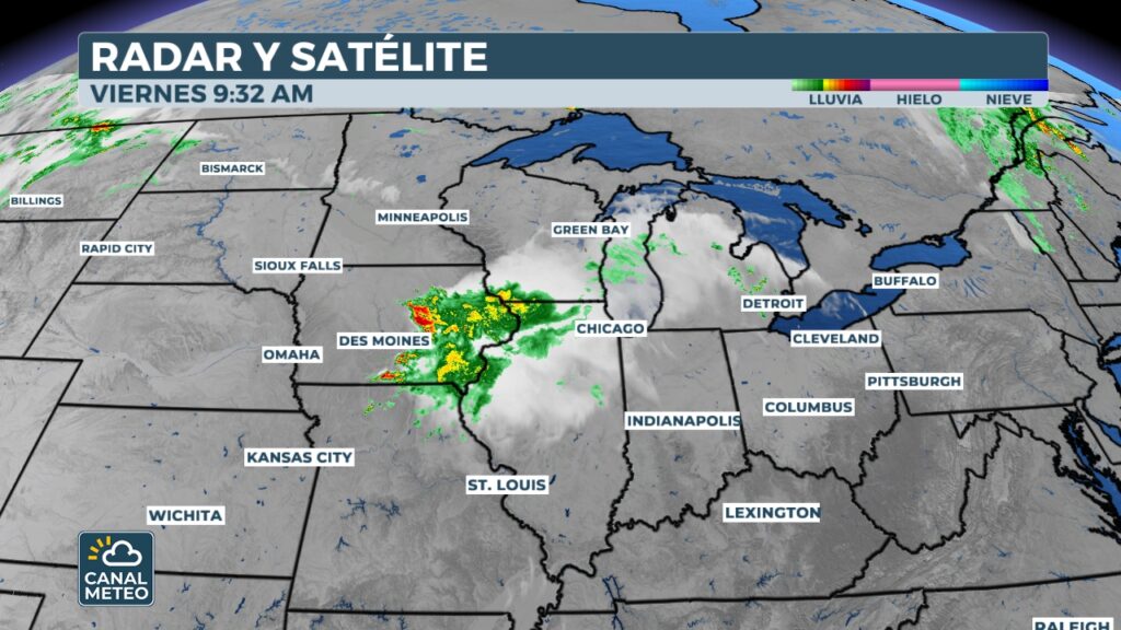
Radar image at 9am CT shows where showers and thunderstorms are occurring. Severe thunderstorm warnings are indicated with a yellow box. Tornado warnings are indicated with red boxes, while tornado warnings with a confirmed tornado are indicated with purple boxes. Flash flood warnings are indicated with green boxes, while flash flood emergencies are indicated with pink boxes. Severe thunderstorm warnings are indicated with yellow shading, while tornado warnings are indicated with dark red shading.
(Meteo Channel)
Minneapolis is included in the Tier 2 zone that extends from Montana to Michigan.
Thunderstorm warnings were issued Friday morning in Minnesota and parts of Iowa. The energy fueling this round of storms was remnant from storms that began Thursday afternoon and generated a tornado in Stark County, North Dakota .
Severe weather forecast for June 20, 2025.
(Meteo Channel)
Any severe storms that form could cause all kinds of severe weather conditions. However, the main concerns will be high winds and large hail. Hurricane-force wind gusts could occur, with winds in excess of 119 km/h.


